At 10 kilometres long, the Košuta ridge, part of the
Karawanks range situated above
Tržič, is
Slovenia's longest mountain and the plan for today was to do a hike on it, but not a normal traverse from one side to another. The plan was to conquer the missed peaks and paths of ŠD Podljubelj's hiking challenge and to find a path, that leads from the middle of the ridge straight to Austrian side of the mountain. The adventure started at 6 a.m., as usual al the planned tasks were performed and the hike was finished after 13 hours.
 |
| Gaining height. |
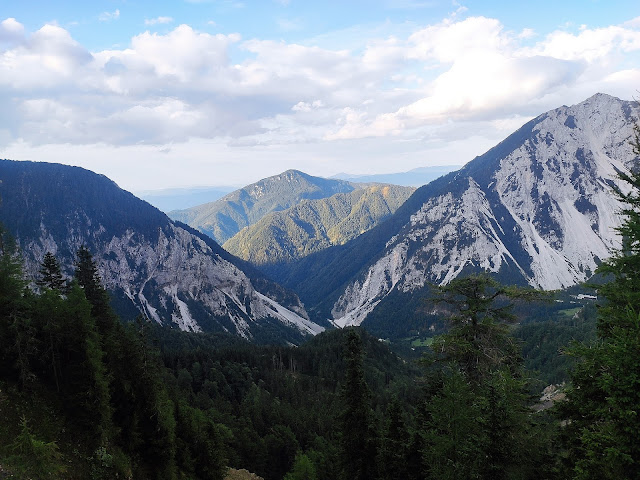 |
| View to my valley with Dobrča in the middle. |
 |
| On top of Veliki vrh with the view towards the East, where the Košuta ridge continues. |
 |
| Nice trail, that I left behind. |
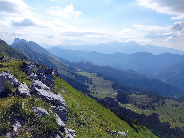 |
| Mountain pastures below Košuta. |
 |
| Kladivo, 2094 m, was one of today's goals. |
A little past Škrbina, 1869 m, I left the ridge and started descending towards Austria. The path that I wanted to hike for a long time was mine, although it required a little navigational skills. Disappointment on Koschutahaus, 1280 m. The mountain hut was closed due to the visit of the doctor. No warm food then and I had to turn on eco mode, since I was low on food and water.  |
| No beer, sad face. |
 |
| Can you see the ladder? |
Over the ladder above the gap.
 |
| Back to the Košuta ridge. |
 |
| Highest point of the day, Košutnikov Turn, 2133 m. |
 |
| Attention! National border! Beachtung! Landesgrenze! My opinion, too many borders in our lives, so who cares. |
 |
| Flowers, that you can't see anywhere. Nigritella. |
 |
| It doesn't look that long, but when you walk it, it is. |
 |
| Finally resting back home, attached to new technology. If you ask me, I still believe in a good beer. |
- Cliffhänger's Area Revival, Mystery,
GC7VJ3Z


No comments:
Post a Comment